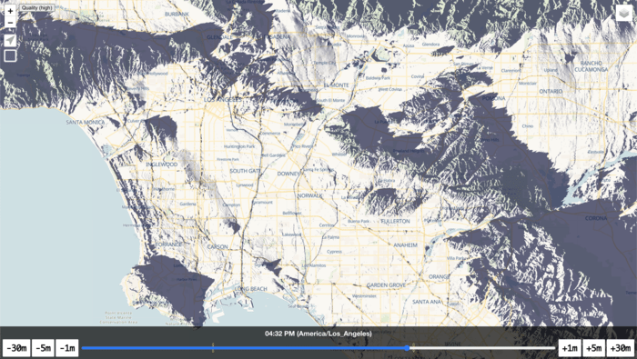
Shade map
I’ve been working on a new project for about two months now and it will never be ready but it’s time to share some progress. Shade map uses elevation data across the world and the sun’s position to determine where you can currently see the sun.
Click here to see what Los Angeles will look like at 4:32 PM.
And one more video showing sunrise in the Seattle area:
I’m not sure where I want to take this yet, but it has been fun learning WebGL, raytracing and mastering trigonometry again for the first time since high school. Also, GPU’s are amazing and underutilized by web developers.
