Tajumulco Volcano - Guatemala’s Highpoint
Cassondra, myself and my sister Ilona were invited to attend a wedding in Antigua on Saturday, March 11th and because it was a bit of a financial and time commitment to get there, we decided that we would fly in the weekend before and do some exploring.
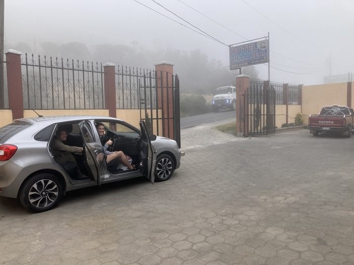
Hotel parking by trailhead
We rented a car at the airport and spent two days with a guided group on the active volcano Fuego, outside of Antigua. It was a blast but then we decided to opt for the less visited country high point of Guatemala: Tajumulco Volcano 13,739’.
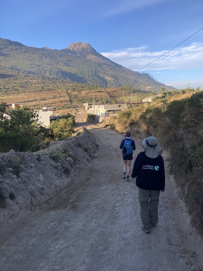
First views of Tajumulco from the road
We stayed at the Hotel Fuentes in San Marcos, an hour’s drive south of the volcano. The night before our hike, we did some Googling of the route, the directions to the trailhead and gathering general “beta”. We discovered a hotel near the trail with a parking lot where we could leave the car.
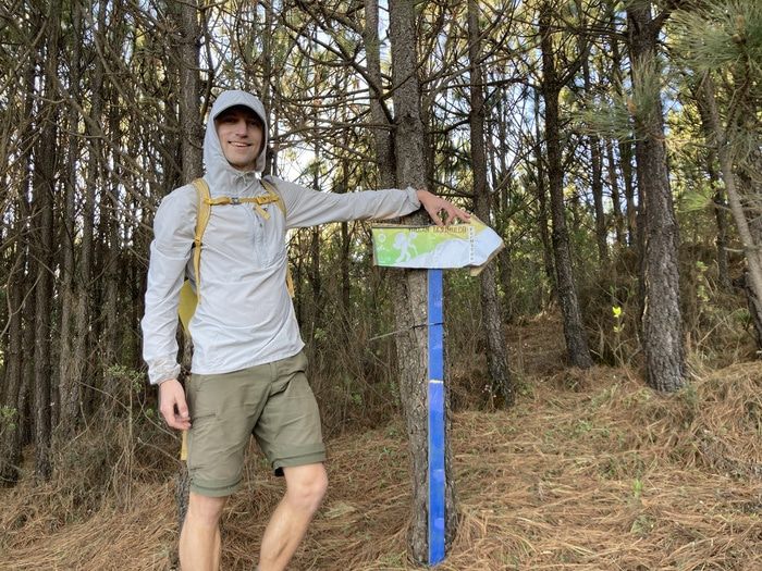
Sporadic trail markers along the road
The hotel reviews on Google mentioned hiking the volcano and several people boasted that they had made it safely, only having to pay a small bribe and avoiding nearby gunfire. As a precaution we left all our luggage and money in San Marcos city, taking only $10 and leaving at 5am the next morning.
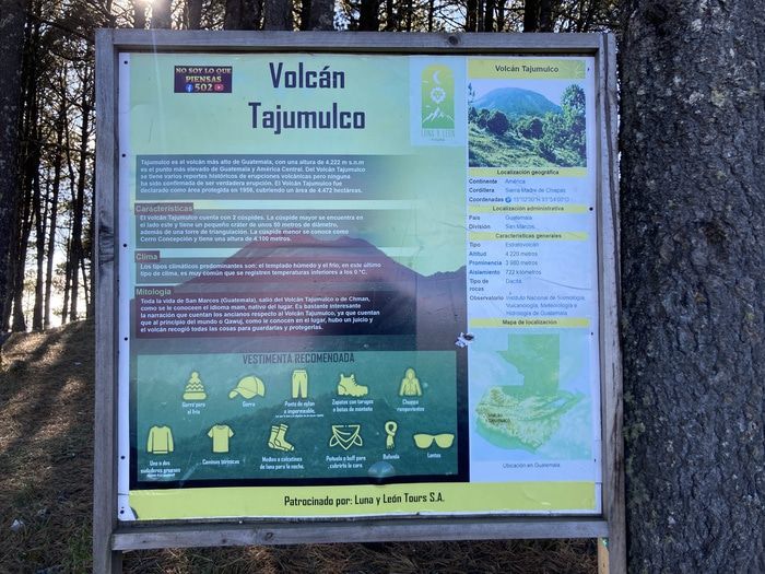
Info sign before single track trail
The drive took an extra half hour because of semi trucks engine braking down the mountain passes. We also ran into a police roadblock in San Sebastian where we had to pay one dollar to drive through what looked like a cattle auction. We arrived at the hotel and asked the owner how much it would be to park the car. He said $10. We only had $9 but we figured some oreo’s would make up the difference.
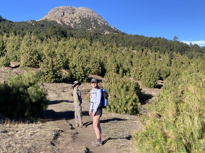
Starting up the single track
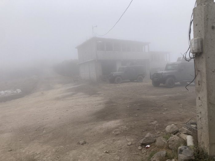
We started up a dirt road and quickly came across three military jeeps with roof mounted machine guns. Several guys in military fatigues were standing outside and we said Volcano Tajumulco and just waved us by. Farther up the road, we heard a pickup truck coming up behind us. It was filled with about 10 men and they all just smiled and waved at us. About two miles up the road we came to an empty parking lot and a single track trail leading towards the summit.
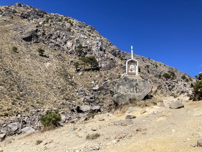
Final ascent and stations of the cross
The hike was pleasant and I was surprised by the amount of shade and trees. We saw three campers coming down the mountain but they didn’t seem interested in talking. There was also a lot of garbage cans along the trail and even some signs remind people to pick up their trash.
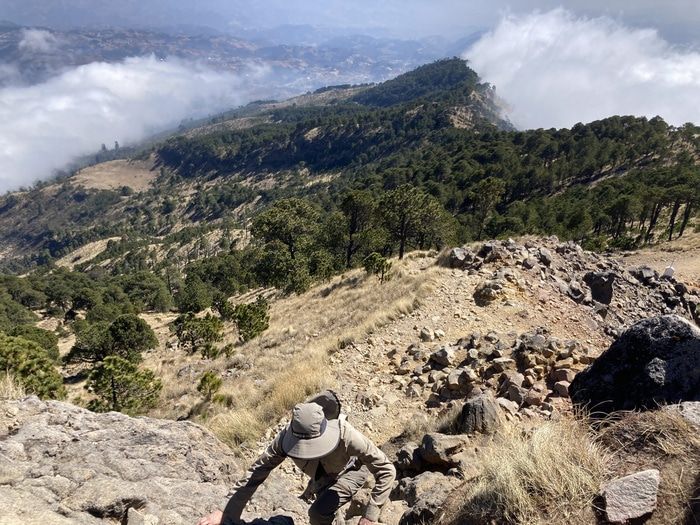
Scrambling towards the summit
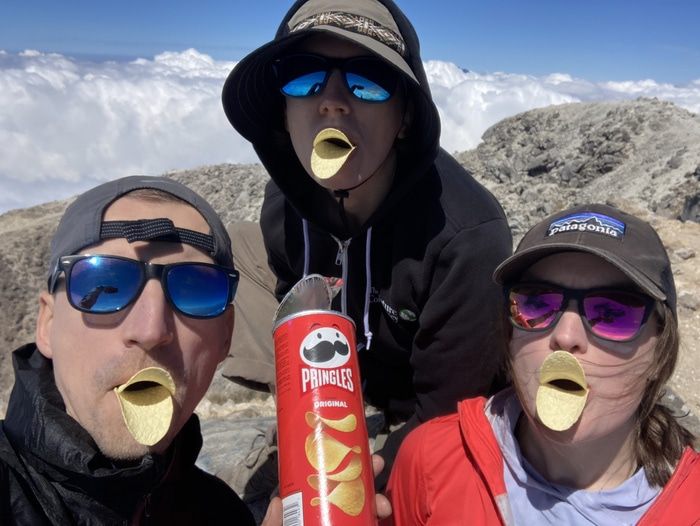
The final ascent to the crater had the 14 stations of the cross commemorating Jesus’s crucifixion. There were a few rocky steps which required using your hands but no exposure. We made the top around 10:30am and the hike took about 4 hours from the hotel where we parked. Before we left, a French Canadian couple arrived on the summit. They were the only other hikers we saw that day.
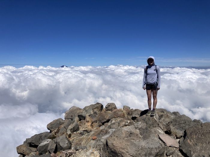
Cassondra with Pacific clouds
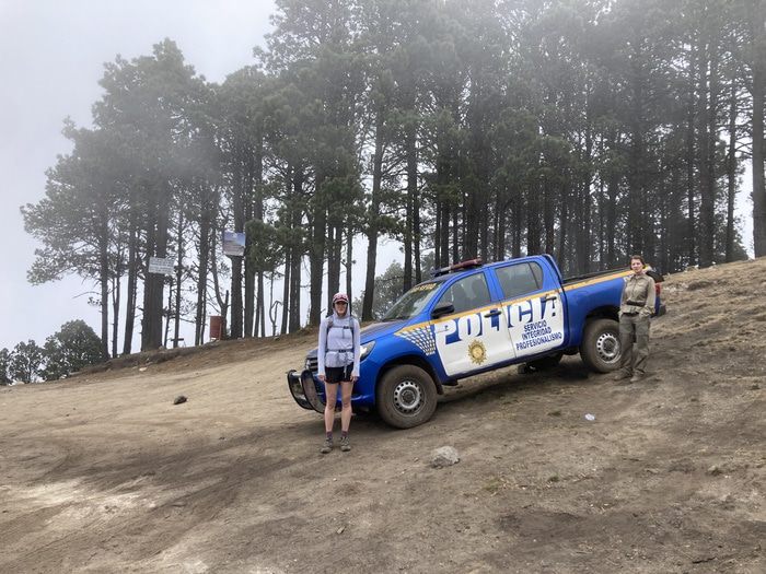
We descended an alternate route down the north side of the crater and when we caught back up to the main trail we ran into a group of police armed with rifles. They wanted our phone so they could take our picture but I was a bit on edge and refused. They ended up taking pictures with us on their own phones and then carried on up the mountain.
Summit shot
At this point, the amount of military and police presence made us a bit uneasy. It seemed to imply the area was not safe and we decided to keep a low profile and hike out in silence. Some early afternoon clouds were forming and turned into a nice cool fog as we descended.
Police patrol truck
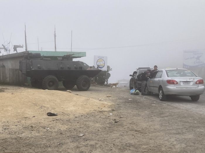
We skirted past the military jeeps unnoticed and waved to a few kids playing in their yards. When we got back to the main highway we noticed an armored personnel carrier was now parked there. We quickly made our way back to the hotel and found the owner. We gave him all our money and a package of oreos and he seemed pleased.
Military jeeps
When we got back to San Marcos, we googled some more and found the the State Department had issued a Level 4 - Do Not Travel advisory for rural areas around San Marcos due to narcotics trafficking and lack of police presence. Luckily, it seemed like the Tajumulco area was pretty well patrolled when we were there but I’d do your own research before going.
Armored personnel carrier
