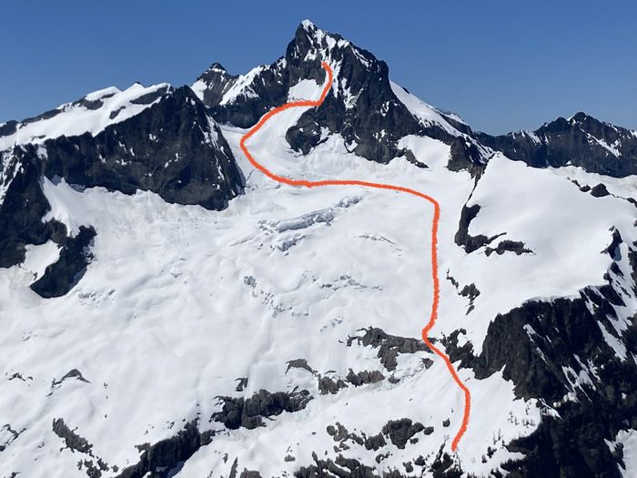
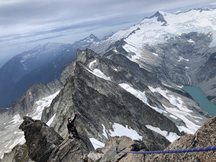
Forbidden Peak
Late summer/early fall is my favorite season in the Cascades. The mornings are crisp but the evenings are fairly warm. You can get away with a light backpack because you don’t need to bring warm layers or serious snow gear. Eldorado, Sahale, Sherpa and Argonaut were all incredible climbs we did during this season in years past.
So after many weeks abroad, we were back in Seattle for Labor day and eager to get in at least one epic climb before the snow started to fall. Cassondra managed to secure a Saturday night permit for Boston Basin and we decided to try Forbidden Peak.
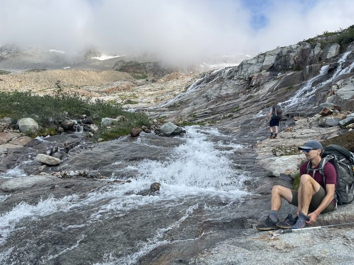
Finding a way across Boston Creek
The weather was chilly, with summit temperatures forecasted to be around 40 degrees with 15 mph winds and a chance of an afternoon misting totaling 0.01mm of accumulation. It wasn’t a great forecast for standing around and belaying the 1000’ or so of climbing but we knew what to...