Argonaut and Sherpa, Part 1
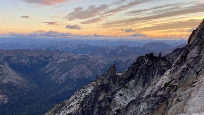
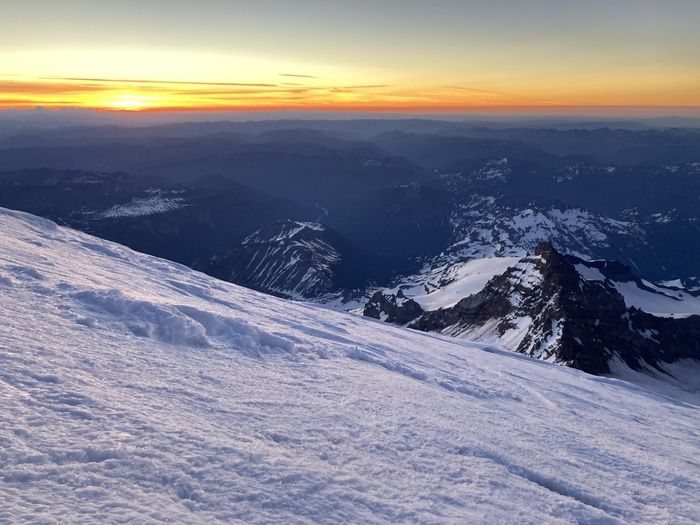
Sunset on Argonaut
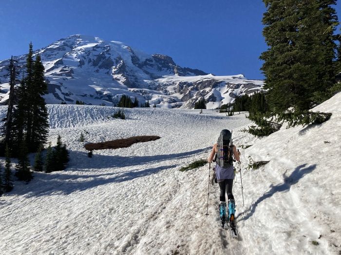
A wise man once said, “Good plans are all alike, each bad plan is bad in its own way”. Cassondra suggested (for the record) that we try Argonaut and Sherpa over Labor Day weekend. I love being enveloped in 30 mph winds as I bask in summit glory, so the forecast seemed about right. We took most of Saturday to organise gear. After spending all summer in 30L packs, we decided to dust off the ol’ 60L to make sure we wouldn’t go hungry. We got a few hours of sleep, left Bothell at 4am and arrived at Beverly Turnpike trailhead around 6:30am. A casual 3 hour approach with brilliant views of Argonaut brought us to Ingalls Creek.
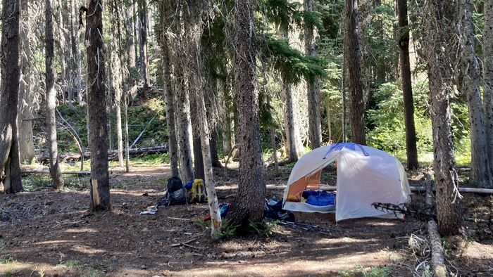
Basecamp: where we spent a total of 6 hours all weekend
We pitched camp and I asked Cassondra for the stats on Argonaut. Four thousand feet of gain? Hmmm, that’s not super tall. We can probably take a nap. We packed our summit packs and set out...